Central Alabama Braces for Midweek Storms, Followed by Significant Cooldown
Central Alabama is expecting rain and storms to move in midweek, from Tuesday night into Wednesday, with potential for heavier rainfall in some areas. Following this system, a cooldown is anticipated by the end of the week, bringing cooler November-like…

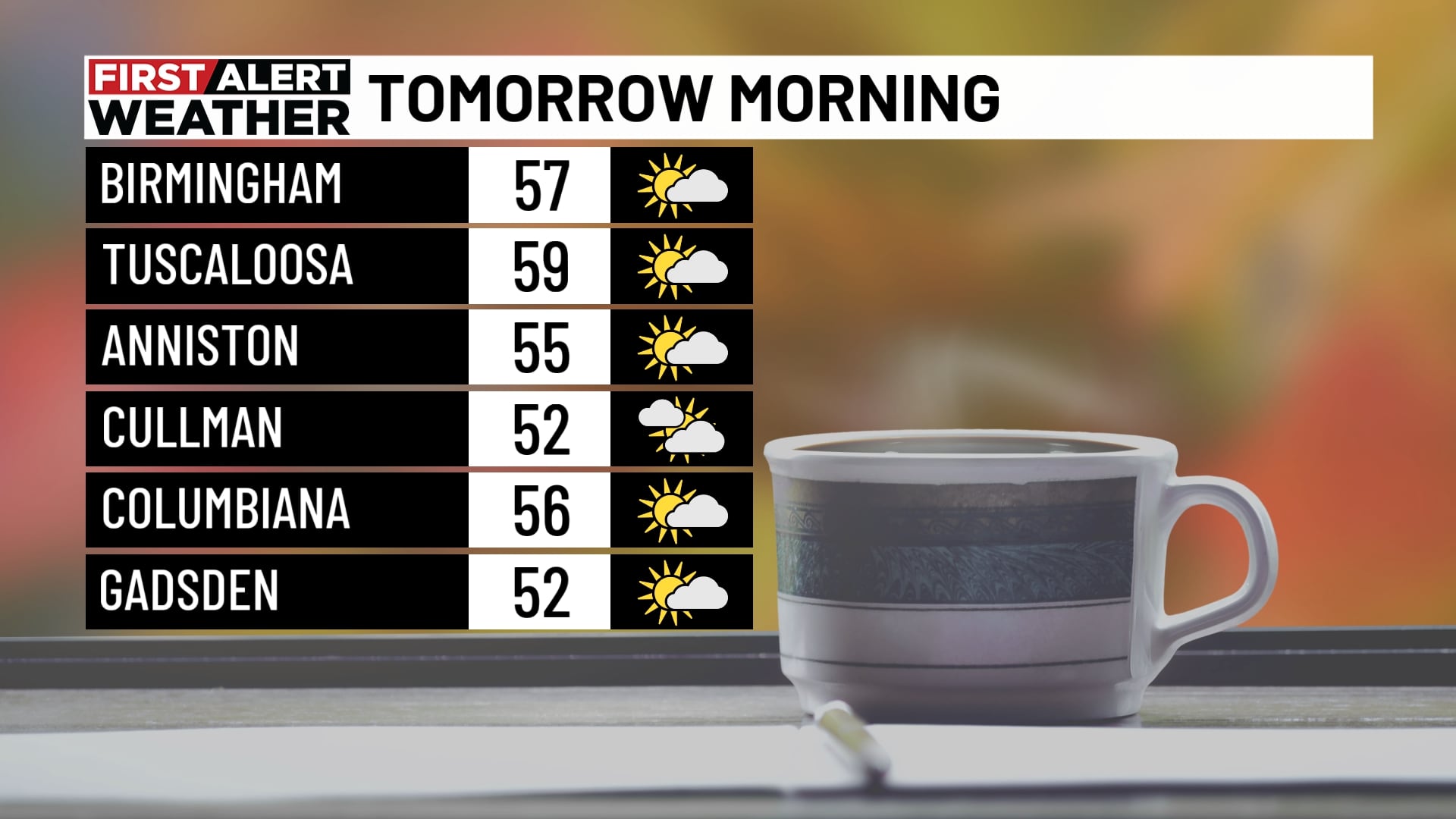
 Birmingham, AL, November 1, 2026 — Central Alabama residents can expect a significant shift in weather patterns this week, with a system bringing rain and thunderstorms forecast to arrive midweek. The precipitation is anticipated to begin late Tuesday night and continue through Wednesday, potentially impacting travel and daily activities.
Forecasters indicate that while widespread rain is likely across the region, some areas may experience heavier downpours. Specific details regarding the intensity and exact locations of the heaviest rainfall were not provided. Residents are advised to monitor local weather updates as the system approaches for the latest advisories and potential impacts.
Following the passage of this midweek weather system, a notable change in temperature is expected. By the end of the week, a cooldown is on the horizon, ushering in cooler conditions.
This transition is projected to bring temperatures more characteristic of November by next weekend. The extent of the temperature drop and the duration of the cooler weather were not specified in the summary. This cooling trend marks a departure from current conditions, emphasizing the seasonal transition into late autumn.
Story summarized from the original created by Carlyn McCreary on www.wbrc.com, see more information here.
Media gallery